No sign-up.
Just start.
Track running, hiking and cycling with GPS. No account, no subscription, and everything stays on your phone. Sign in only for the community.
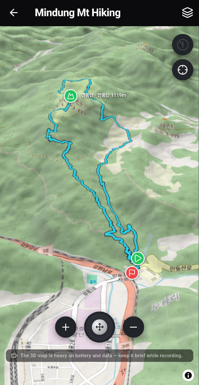
3D terrain route
Not a line on a flat map,
the ground you crossed
Your route is laid over real elevation data. Which ridge you crossed and where the climb began read as terrain rather than as a map. Rotate and tilt the camera, and routes other people shared open the same way.
More than
a single number
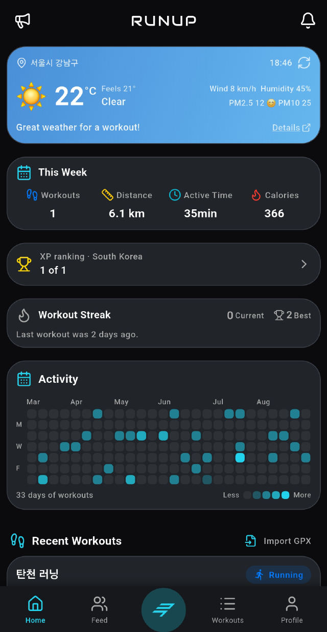
Splits are cut automatically at 1, 5 and 10 km, and the ones you ran faster than your average separate by colour. Pace, cadence, heart rate and elevation overlay on one chart, and totals accrue on their own.
- Split table and performance chart
- Heart rate, cadence, steps (Health Connect / HealthKit)
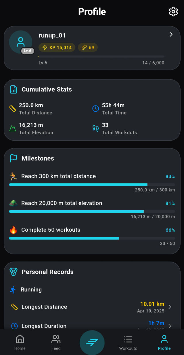
- Personal bests per activity, and cumulative milestones
- Streaks and a 20-week activity heatmap
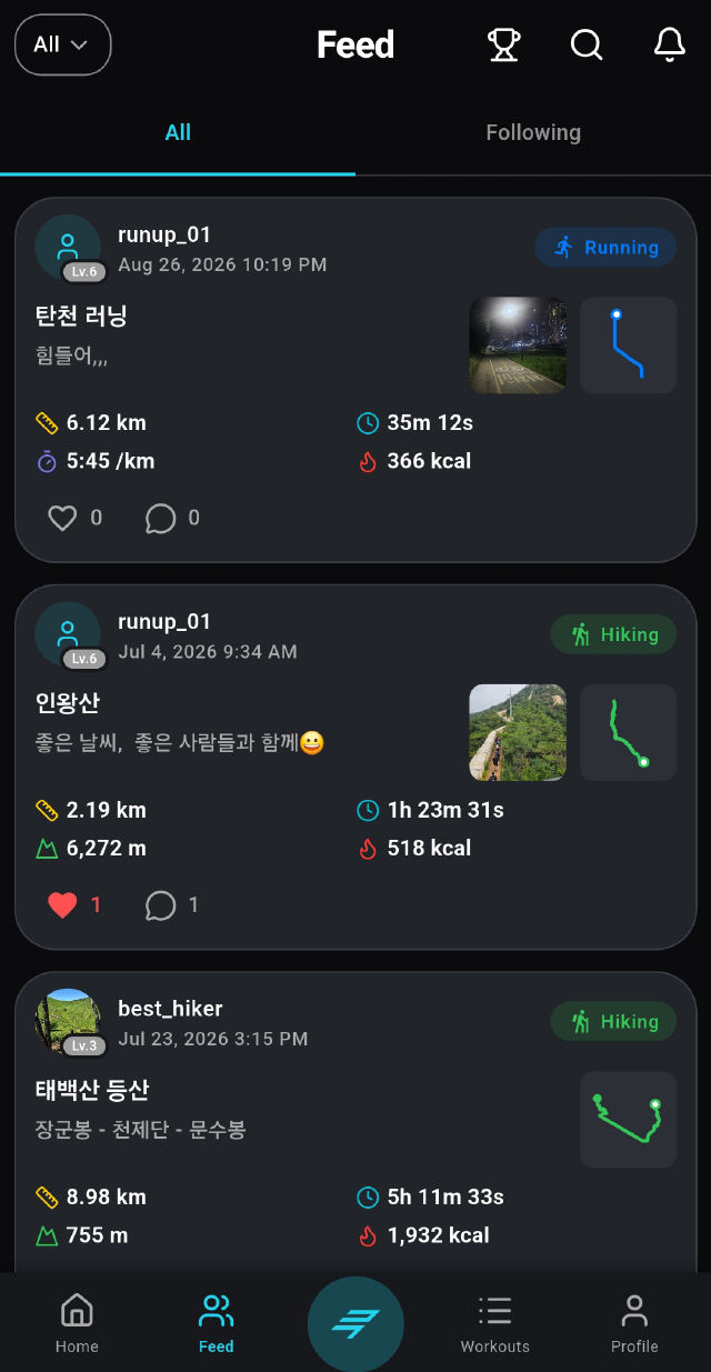
When you want someone to see it
This is the first place a login is needed. Your records still live on your phone and only what you post reaches the feed. You choose who sees each one, and whether to hide where it started.
More
Things you meet along the way
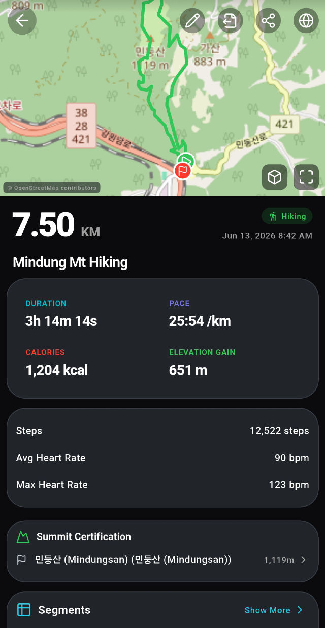
Automatic summit logging
977 peaks across 4 countries, with progress per list.
Weather and air quality
PM2.5, PM10 and a 12-hour forecast before you head out.
Gear tracking
Distance and lifespan per pair of shoes or bike, so replacing them stops being a guess.
GPX import and export
Bring records in from another app, and take yours out as a file whenever you like.
Share cards
Stats over your route or a photo at 1:1, 3:4 or 9:16, transparent PNG too.
Voice guidance and pace maker
It reads your splits out loud and speaks up when you drift off target pace. Auto-pause thresholds differ per activity.
What it looks like
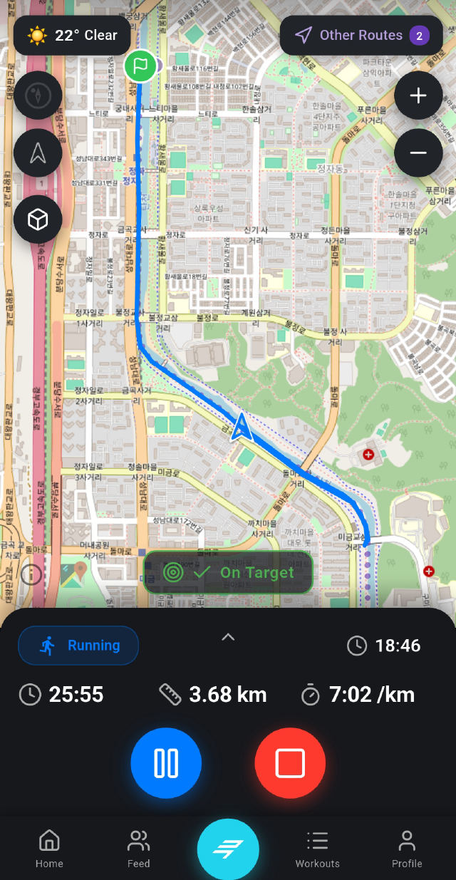
Install, then press start
Nothing to fill in, nothing to create. An account is only for the community.
Get it on Google Play App Store coming soonAd-supported, and nothing is locked